Industrial leaders use Identified Technologies fully-managed commercial drone solution to improve project tracking and team productivity. Our integrated software and services take care of everything from FAA compliance and flight planning, to advanced analytics. You push the start button on the drone and we take care of the rest.
We help companies in construction and earth moving reduce costs and win more business with job site data and analytics. We empower ENR 400 companies, including PJ Dick, EQT, Vulcan and Casella, with the ability to track progress on highways, well pads, mines and landfills in near real-time.
Mapping 100 acres in 10 minutes dramatically increases team productivity. We provide 2D data, 3D volumetrics, orthomosaics, as built versus as planned comparisons, as well as progress and cost forecasting and change detection. Our mission is to provide a new level of transparency and insights for the most difficult project management challenges.
- Company Name:Identified Technologies
(View Trends)
-
Headquarters: (View Map)Pittsburgh, PA, United States
-
Computer Software
-
10 - 50 employees
- 2994835 Global Rank
- 827451 United States
-
Search72.45%
-
Direct27.55%
-
Display0.00%
-
Mail0.00%
-
Referrals0.00%
-
Social0.00%

- Australia 57.2%
- United States 37.7%
- Aquaculture
- 50 Downloads
- 10 SDKs
- 0 Total reviews

- App Url: https://play.google.com/store/apps/details?id=com.identifiedtech.flightiq
- App Support: http://identifiedtech.com
- Genre: tools
- Bundle ID: com.identifiedtech.flightiq
- App Size: 30.9 M
- Release Date: August 15th, 2017
- Update Date: August 15th, 2017
Description:
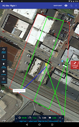
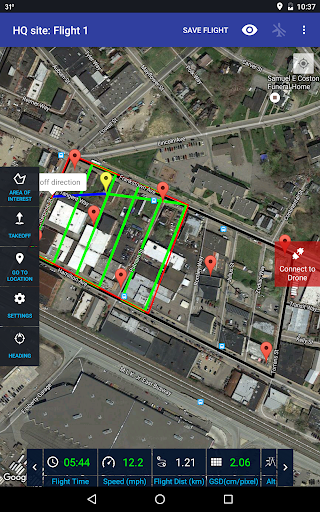
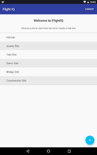
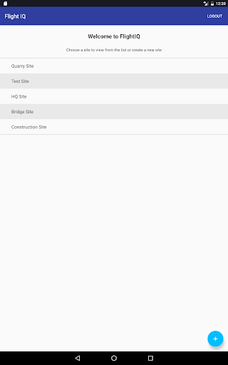
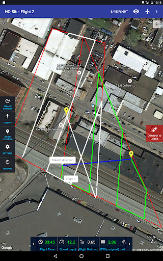
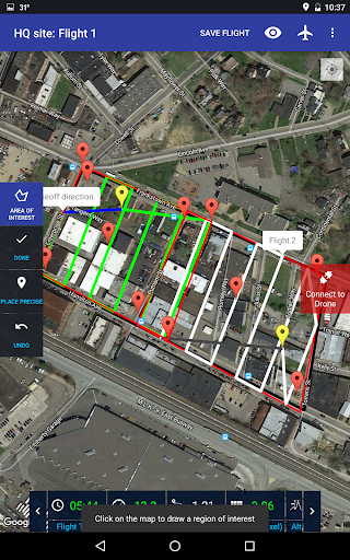
Flight IQ is the intuitive flight planning app for Identified Technologies’ eeDaaS (end-to-end Drone as a Service) system. Easily choose your location, plan your flight path and interface with your Boomerang Mapping Drone. After your data is captured at the push of a button and processed in near real-time, you can access powerful integrated analytics on the Site IQ web-portal.
Flight IQ Features:
[*] Create new sites and flights with the push of a button
[*] Save flight plans for future access and review
[*] Import KMLs to define site boundaries
[*] Plan multiple flights for one site with ease and ensure good overlap for data capture
[*] Connect to the Boomerang Mapping Drone to upload flight plans and get flight statistics during field operations




-
Native0%
-
Standard0%


